Adds water layer to the scene, removing the previous water layer if desired.
render_water(
  heightmap,
  waterdepth = 0,
  watercolor = "lightblue",
  zscale = 1,
  wateralpha = 0.5,
  waterlinecolor = NULL,
  waterlinealpha = 1,
  linewidth = 2,
  remove_water = TRUE
)
Arguments
- heightmap
A two-dimensional matrix, where each entry in the matrix is the elevation at that point. All points are assumed to be evenly spaced.
- waterdepth
Default
0.- watercolor
Default
lightblue.- zscale
Default
1. The ratio between the x and y spacing (which are assumed to be equal) and the z axis. For example, if the elevation levels are in units of 1 meter and the grid values are separated by 10 meters,zscalewould be 10.- wateralpha
Default
0.5. Water transparency.- waterlinecolor
Default
NULL. Color of the lines around the edges of the water layer.- waterlinealpha
Default
1. Water line tranparency.- linewidth
Default
2. Width of the edge lines in the scene.- remove_water
Default
TRUE. IfTRUE, will remove existing water layer and replace it with new layer.
Examples
if(run_documentation()) {
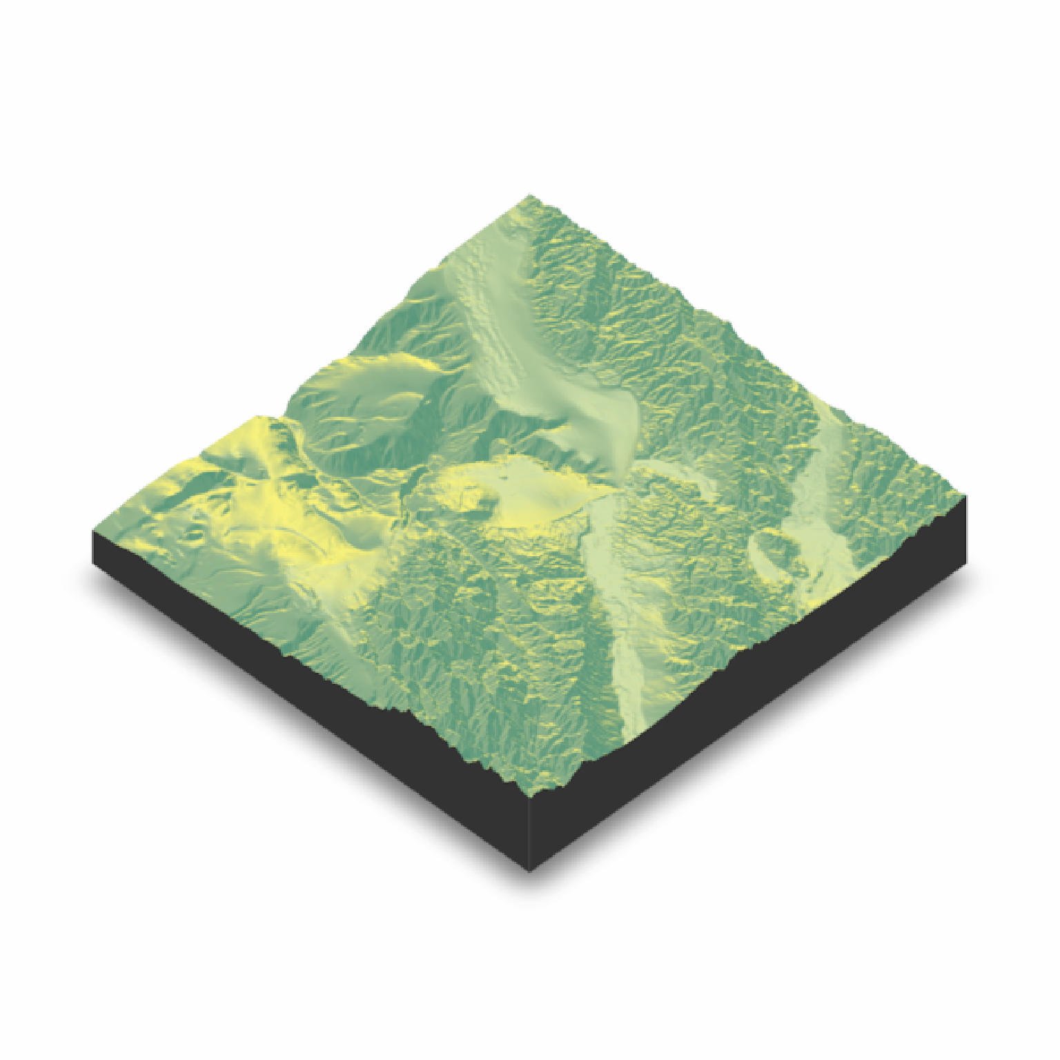
montereybay |>
sphere_shade() |>
plot_3d(montereybay,zscale=50)
render_snapshot()
}
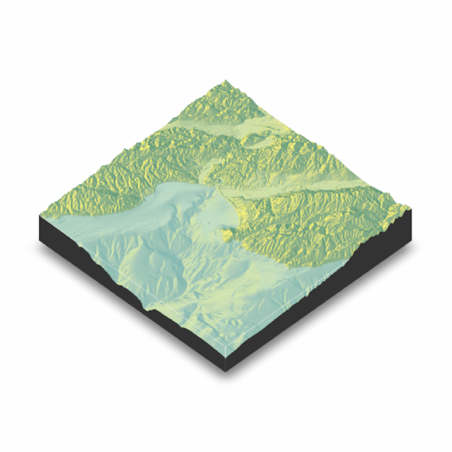
 #We want to add a layer of water after the initial render.
if(run_documentation()) {
render_water(montereybay,zscale=50)
render_snapshot()
}
#We want to add a layer of water after the initial render.
if(run_documentation()) {
render_water(montereybay,zscale=50)
render_snapshot()
}
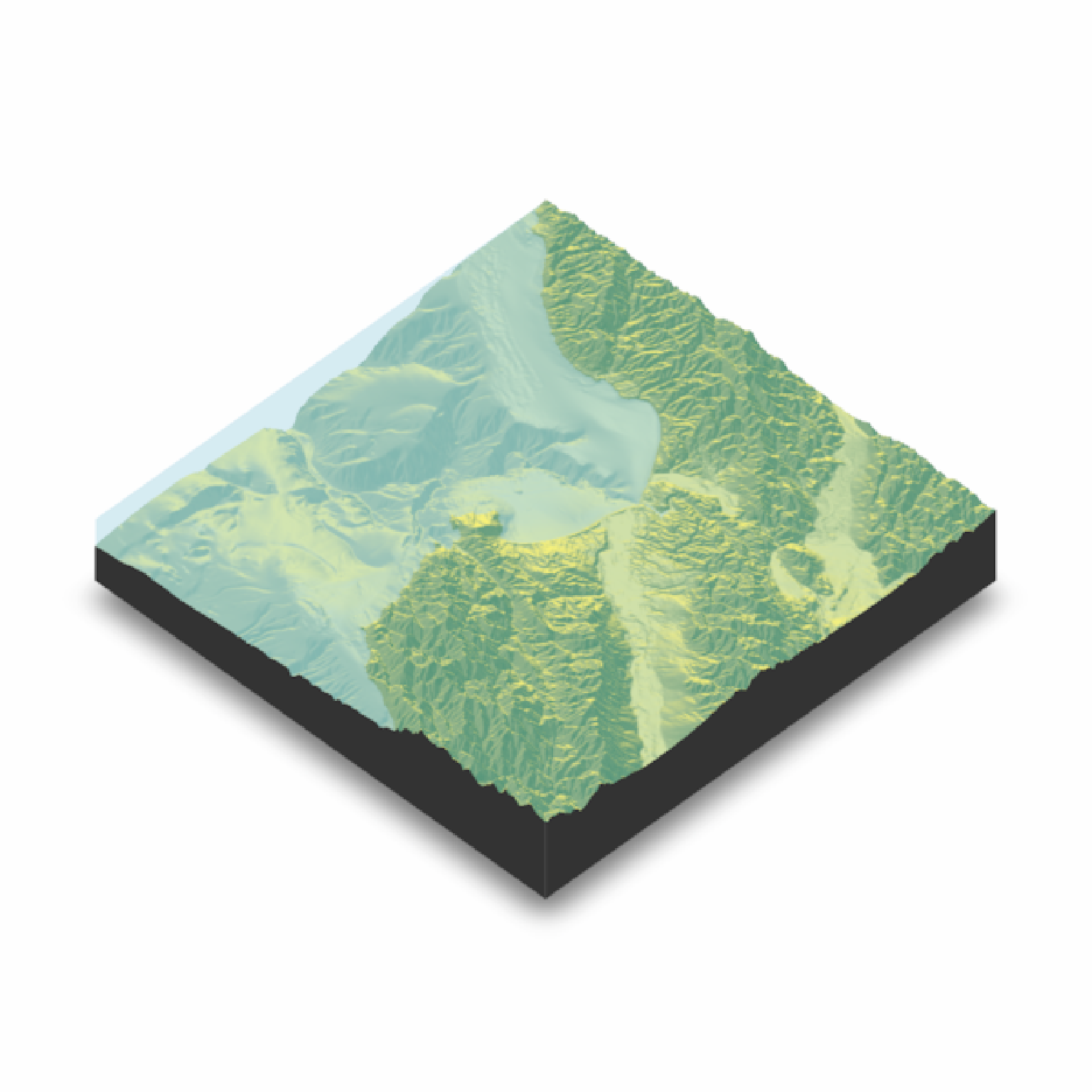 #Call it again to change the water depth
if(run_documentation()) {
render_water(montereybay,zscale=50,waterdepth=-1000)
render_snapshot()
}
#Call it again to change the water depth
if(run_documentation()) {
render_water(montereybay,zscale=50,waterdepth=-1000)
render_snapshot()
}
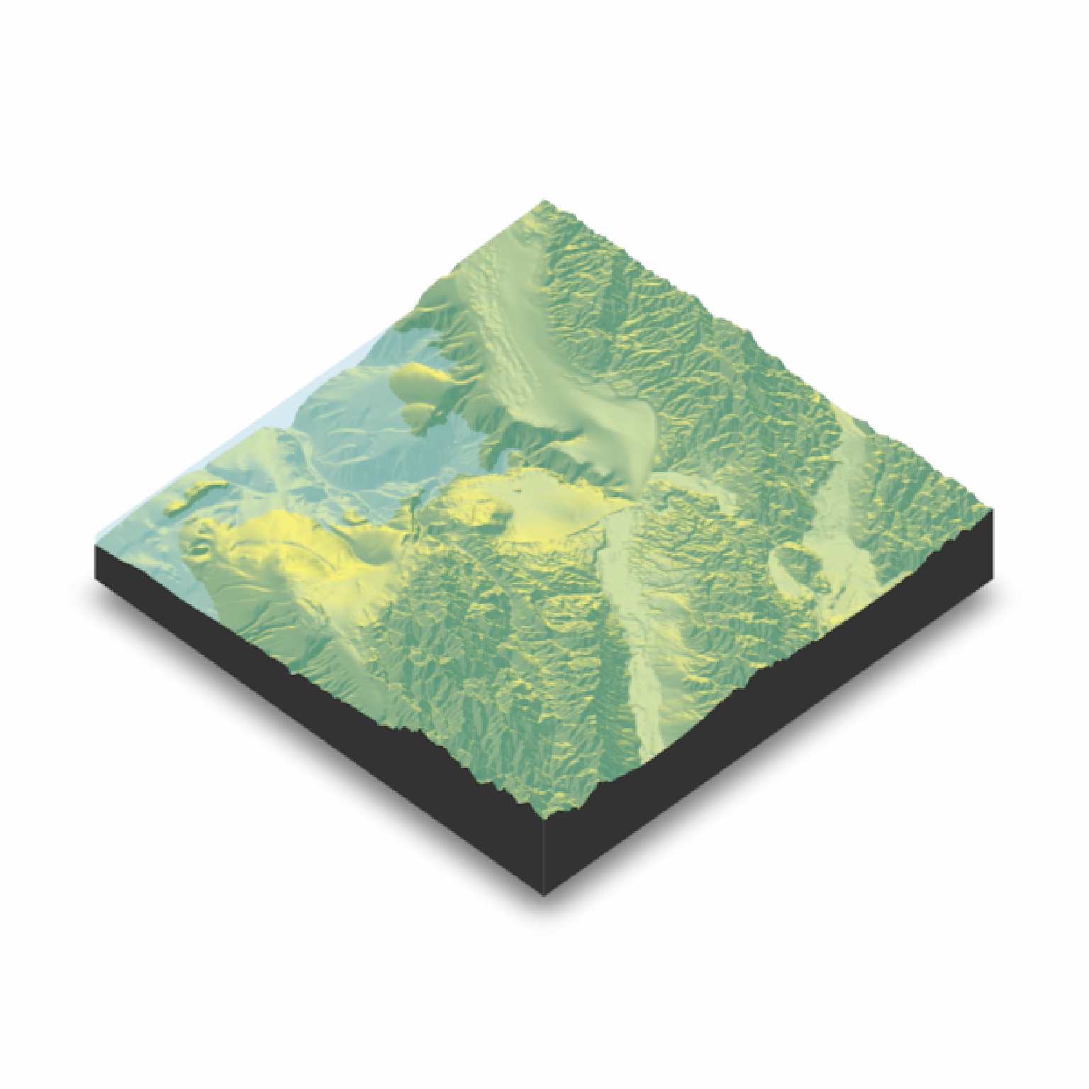 #Add waterlines
if(run_documentation()) {
render_camera(theta=-45)
render_water(montereybay,zscale=50,waterlinecolor="white")
render_snapshot()
}
#Add waterlines
if(run_documentation()) {
render_camera(theta=-45)
render_water(montereybay,zscale=50,waterlinecolor="white")
render_snapshot()
}